Latitude and longitude of Bolingbrook's Clow International Airport
- Nearby Geneva, Illinois, United States
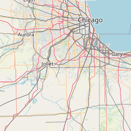
Satellite map of Bolingbrook's Clow International Airport
Bolingbrook's Clow International Airport (FAA LID: 1C5) is a public airport in Bolingbrook, a village in Will County, Illinois, United States.
Latitude: 41° 41' 27.59" N
Longitude: -88° 07' 27.00" W
Nearest city to this article: Bolingbrook
Read about Bolingbrook's Clow International Airport in the Wikipedia Satellite map of Bolingbrook's Clow International Airport in Google Maps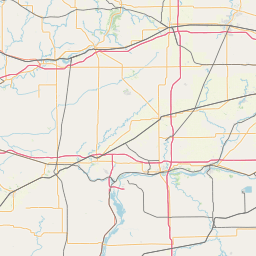


Leaflet | © OpenStreetMap contributors