Latitude and longitude of Rolinda, California
- Nearby Clovis, California, United States
Satellite map of Rolinda, California
Rolinda is a small unincorporated agricultural community in Fresno County, California, United States. It is located on the Southern Pacific Railroad 10 miles (16 km) west of downtown Fresno, at an elevation of 253 feet (77 m). It is located along State Route 180. Official U.S. Geological Survey coordinates for the community are . The community is in area code 559. It does not have its own ZIP code and mail uses the Fresno ZIP code of 93706.
Latitude: 36° 44' 4.19" N
Longitude: -119° 57' 25.79" W
Nearest city to this article: Kerman, California
Read about Rolinda, California in the Wikipedia Satellite map of Rolinda, California in Google Maps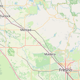

Leaflet | © OpenStreetMap contributors