Latitude and longitude of Auburn Lake Trails, California
- Nearby Lincoln, California, United States
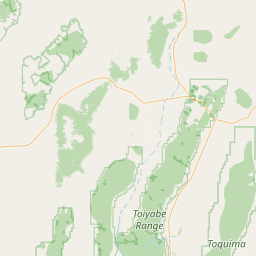
Satellite map of Auburn Lake Trails, California
Auburn Lake Trails is a census-designated place in El Dorado County, California. It lies at an elevation of 1916 feet (584 m). It is a gated community with 30 miles (48 km) of horse trails.
Latitude: 38° 54' 31.19" N
Longitude: -120° 57' 5.39" W
Nearest city to this article: Auburn Lake Trails
Read about Auburn Lake Trails, California in the Wikipedia Satellite map of Auburn Lake Trails, California in Google Maps

Leaflet | © OpenStreetMap contributors