Latitude and longitude of Concordia, Kansas
- Nearby Clay Center, Kansas, United States
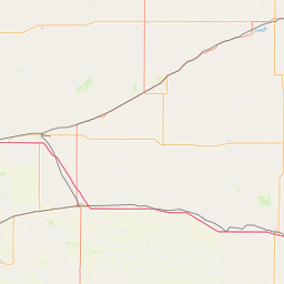
Satellite map of Concordia, Kansas
Concordia is a city in and the county seat of Cloud County, Kansas, United States. It is located along the Republican River in the Smoky Hills region of the Great Plains in north-central Kansas. Among other points of interest, Concordia is the home of the Brown Grand Theatre, Cloud County Community College, and the Nazareth Convent and Academy. It was also the home of Kansas Governor and U.S. Senator Frank Carlson.
Latitude: 39° 34' 5.39" N
Longitude: -97° 39' 17.99" W
Nearest city to this article: Concordia, Kansas
Read about Concordia, Kansas in the Wikipedia Satellite map of Concordia, Kansas in Google Maps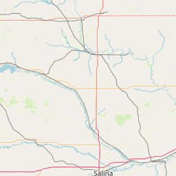


Leaflet | © OpenStreetMap contributors