Latitude and longitude of Wakefield, Kansas
- Nearby Clay Center, Kansas, United States
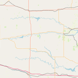
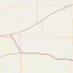
Satellite map of Wakefield, Kansas
Wakefield is a city in Clay County, Kansas, United States.
Latitude: 39° 12' 34.80" N
Longitude: -97° 00' 33.00" W
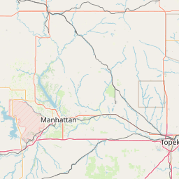
Nearest city to this article: Manhattan
Read about Wakefield, Kansas in the Wikipedia Satellite map of Wakefield, Kansas in Google Maps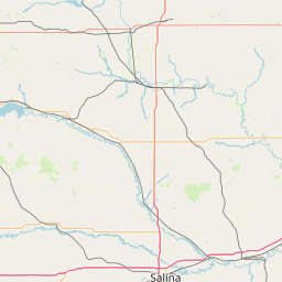


Leaflet | © OpenStreetMap contributors