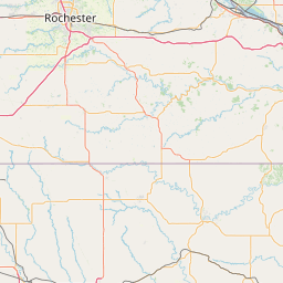
Latitude and longitude of Federal Medical Center, Rochester
- Nearby Rochester, Minnesota, United States
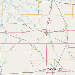
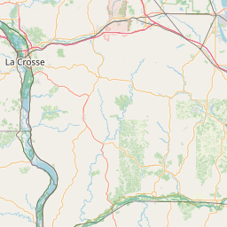
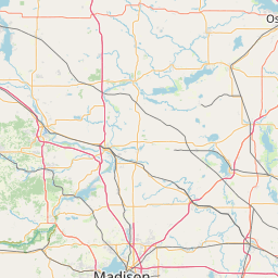
Satellite map of Federal Medical Center, Rochester
The Federal Medical Center, Rochester (FMC Rochester) is a United States federal prison in Minnesota for male inmates requiring specialized or long-term medical or mental health care. It is designated as an administrative facility, which means it holds inmates of all security classifications.
Latitude: 44° 01' 16.42" N
Longitude: -92° 26' 6.38" W
Nearest city to this article: Rochester, Minnesota
Read about Federal Medical Center, Rochester in the Wikipedia Satellite map of Federal Medical Center, Rochester in Google Maps


Leaflet | © OpenStreetMap contributors