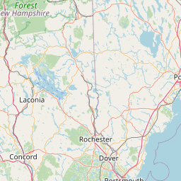
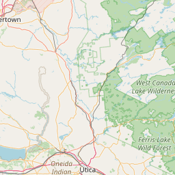
Latitude and longitude of St. Paul's School (New Hampshire)
- Nearby Concord, New Hampshire, United States
Satellite map of St. Paul's School (New Hampshire)
St. Paul's School (also known as SPS) is a highly selective college-preparatory, coeducational boarding school in Concord, New Hampshire, affiliated with the Episcopal Church. The 2,000-acre (8.1 km2) New Hampshire campus currently serves 531 students, who come from all over the United States and the world.
Latitude: 43° 11' 24.60" N
Longitude: -71° 34' 20.99" W
Nearest city to this article: Concord, New Hampshire
Read about St. Paul's School (New Hampshire) in the Wikipedia Satellite map of St. Paul's School (New Hampshire) in Google Maps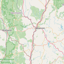

Leaflet | © OpenStreetMap contributors