Latitude and longitude of Oakdale, Minnesota
- Nearby Somerset, Wisconsin, United States
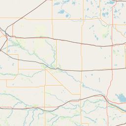
Satellite map of Oakdale, Minnesota
Oakdale is a city in Washington County, Minnesota, United States, is a suburb of Saint Paul and is on the eastern side of the Twin Cities Metropolitan area. The population was 27,378 at the 2010 census.
Latitude: 44° 57' 28.19" N
Longitude: -92° 57' 32.39" W
Nearest city to this article: Oakdale, Minnesota
Read about Oakdale, Minnesota in the Wikipedia Satellite map of Oakdale, Minnesota in Google Maps


Leaflet | © OpenStreetMap contributors