Latitude and longitude of University of Wisconsin–River Falls
- Nearby North Hudson, Wisconsin, United States
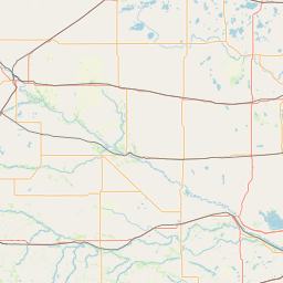
Satellite map of University of Wisconsin–River Falls
The University of Wisconsin–River Falls (also known as UW–River Falls or UWRF) is a public liberal arts university located in River Falls, Wisconsin. It is part of the Minneapolis-St. Paul metropolitan area. The 226-acre (91 ha) campus is situated on the Kinnickinnic River in the St. Croix River valley.
Latitude: 44° 52' 48.00" N
Longitude: -92° 42' 36.00" W
Nearest city to this article: Afton, Minnesota
Read about University of Wisconsin–River Falls in the Wikipedia Satellite map of University of Wisconsin–River Falls in Google Maps


Leaflet | © OpenStreetMap contributors