Latitude and longitude of Douglas Flat, California
- Nearby Mono Vista, United States
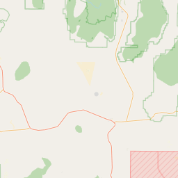
Satellite map of Douglas Flat, California
Douglas Flat was a roaring mining camp of the early 1850s. In 1857 the Harper and Lone Star Claims produced $130,000 worth of gold. The so-called Central Hill Channel, an ancient river deposit from which vast quantities of gold have been taken, is located here.
Latitude: 38° 06' 31.20" N
Longitude: -120° 27' 10.79" W


Leaflet | © OpenStreetMap contributors