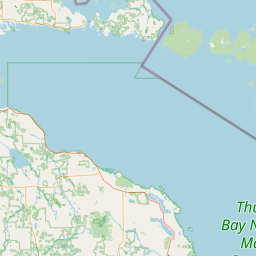
Latitude and longitude of National Register of Historic Places listings in Menominee County, Michigan
- Nearby Menominee, Michigan, United States
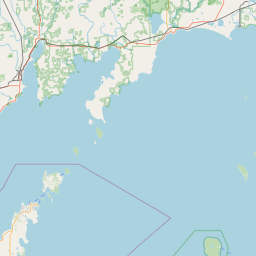
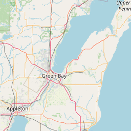
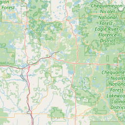
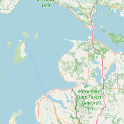
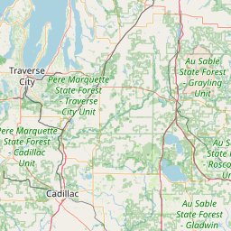
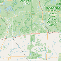
Satellite map of National Register of Historic Places listings in Menominee County, Michigan
The following is a list of Registered Historic Places in Menominee County, Michigan.
Latitude: 45° 06' 9.00" N
Longitude: -87° 37' 7.79" W
Nearest city to this article: Menominee, Michigan
Read about National Register of Historic Places listings in Menominee County, Michigan in the Wikipedia Satellite map of National Register of Historic Places listings in Menominee County, Michigan in Google Maps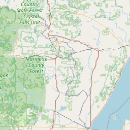


Leaflet | © OpenStreetMap contributors