Latitude and longitude of Loomis, Wisconsin
- Nearby Menominee, Michigan, United States
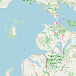
Satellite map of Loomis, Wisconsin
Loomis is an unincorporated community located in the town of Lake, Marinette County, Wisconsin, United States.
Latitude: 45° 11' 33.00" N
Longitude: -87° 53' 57.01" W
Nearest city to this article: Menominee, Michigan
Read about Loomis, Wisconsin in the Wikipedia Satellite map of Loomis, Wisconsin in Google Maps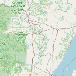

Leaflet | © OpenStreetMap contributors