Latitude and longitude of Roanoke, Indiana
- Nearby Huntington, Indiana, United States
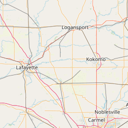
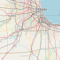
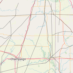
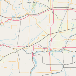
Satellite map of Roanoke, Indiana
Roanoke is a town in Jackson Township, Huntington County, Indiana, United States. The population was 1,722 at the 2010 census. Roanoke is governed by a town council. Town offices include the clerk treasurer, utilities department, police department, and volunteer fire department. The town has a public elementary school. WOWO and WBNI have transmitter towers in Roanoke, along U.S.
Latitude: 40° 57' 30.59" N
Longitude: -85° 22' 16.79" W


Leaflet | © OpenStreetMap contributors