Latitude and longitude of WQHU-LP
- Nearby Huntington, Indiana, United States
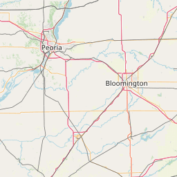
Satellite map of WQHU-LP
WQHU-LP (105.5 FM, "Fuse FM") is a low-power FM radio station broadcasting an alternative music format.
Latitude: 40° 56' 32.99" N
Longitude: -85° 30' 18.59" W
Nearest city to this article: Huntington, Indiana
Read about WQHU-LP in the Wikipedia Satellite map of WQHU-LP in Google Maps

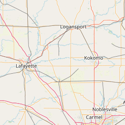


Leaflet | © OpenStreetMap contributors