Latitude and longitude of Markle, Indiana
- Nearby Huntington, Indiana, United States
Satellite map of Markle, Indiana
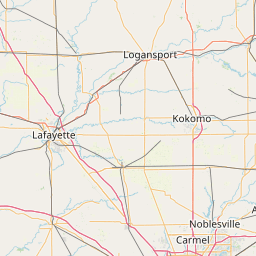
Markle is a village in Huntington and Wells counties, Indiana, United States. The population was 1,095 at the 2010 census. It lies along Interstate 69, U.S.
Latitude: 40° 49' 20.99" N
Longitude: -85° 20' 10.20" W


Leaflet | © OpenStreetMap contributors