Latitude and longitude of Sebring Regional Airport
- Nearby Avon Park, Florida, United States
Satellite map of Sebring Regional Airport
Sebring Regional Airport (IATA: SEF, ICAO: KSEF, FAA LID: SEF) is a public use airport located six nautical miles (7 mi, 11 km) southeast of the central business district of Sebring, a city in Highlands County, Florida, United States. It is owned by the Sebring Airport Authority.
Latitude: 27° 27' 13.79" N
Longitude: -81° 20' 19.20" W
Nearest city to this article: Sebring, Florida
Read about Sebring Regional Airport in the Wikipedia Satellite map of Sebring Regional Airport in Google Maps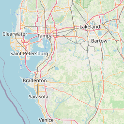


Leaflet | © OpenStreetMap contributors