Latitude and longitude of Sharpe Field
- Nearby Tuskegee, United States
Satellite map of Sharpe Field
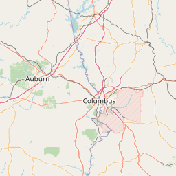
Sharpe Field (IATA: TGE, FAA LID: AL73) is a private use airport located six nautical miles (11 km) northwest of the central business district of Tuskegee, a city in Macon County, Alabama, United States.
Latitude: 32° 29' 18.59" N
Longitude: -85° 46' 19.19" W
Nearest city to this article: Tallassee, Alabama
Read about Sharpe Field in the Wikipedia Satellite map of Sharpe Field in Google Maps


Leaflet | © OpenStreetMap contributors