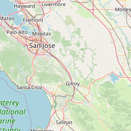
Latitude and longitude of Santa Cruz, California
- Nearby Soquel, United States
Satellite map of Santa Cruz, California
Santa Cruz (/ˈsæntə ˈkruːz/, Spanish: Holy Cross) is the county seat and largest city of Santa Cruz County, California. As of 2013 the U.S.
Latitude: 36° 58' 19.38" N
Longitude: -122° 01' 34.51" W
Nearest city to this article: Santa Cruz, California
Read about Santa Cruz, California in the Wikipedia Satellite map of Santa Cruz, California in Google Maps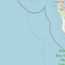


Leaflet | © OpenStreetMap contributors