Latitude and longitude of Santa Cruz County, California
- Nearby Rio del Mar, United States
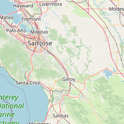
Satellite map of Santa Cruz County, California
Santa Cruz County, officially the County of Santa Cruz, is a county located on the Pacific coast of the U.S. state of California.
Latitude: 37° 01' 48.00" N
Longitude: -122° 00' 36.00" W
Nearest city to this article: Scotts Valley
Read about Santa Cruz County, California in the Wikipedia Satellite map of Santa Cruz County, California in Google Maps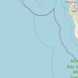


Leaflet | © OpenStreetMap contributors