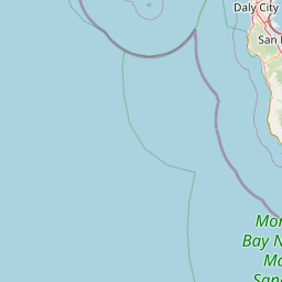
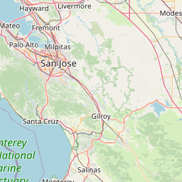
Latitude and longitude of Monterey Bay Aquarium Research Institute
- Nearby Rio del Mar, United States
Satellite map of Monterey Bay Aquarium Research Institute
The Monterey Bay Aquarium Research Institute (MBARI) is a private, non-profit oceanographic research center in Moss Landing, California. MBARI was founded in 1987 by David Packard, and is primarily funded by the David and Lucile Packard Foundation.
Latitude: 36° 48' 7.96" N
Longitude: -121° 47' 16.91" W


Leaflet | © OpenStreetMap contributors