Latitude and longitude of Wolcottville, Indiana
- Nearby Lagrange, Indiana, United States
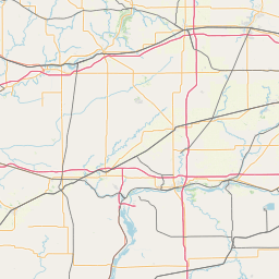
Satellite map of Wolcottville, Indiana
Wolcottville is a town in Johnson Township, LaGrange County and Orange Township, Noble County in the U.S. state of Indiana.
Latitude: 41° 31' 19.19" N
Longitude: -85° 21' 34.79" W


Leaflet | © OpenStreetMap contributors