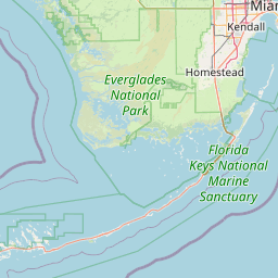
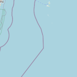
Latitude and longitude of Key West International Airport
- Nearby Key West, United States
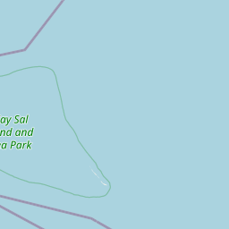
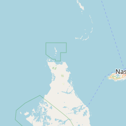
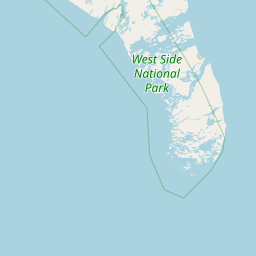
Satellite map of Key West International Airport
Key West International Airport (IATA: EYW, ICAO: KEYW, FAA LID: EYW) is two miles east of Key West, in Monroe County, Florida.
Latitude: 24° 33' 13.19" N
Longitude: -81° 45' 20.39" W
Nearest city to this article: Stock Island
Read about Key West International Airport in the Wikipedia Satellite map of Key West International Airport in Google Maps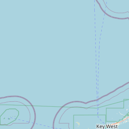


Leaflet | © OpenStreetMap contributors