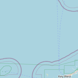
Latitude and longitude of Naval Air Station Key West
- Nearby Key West, United States
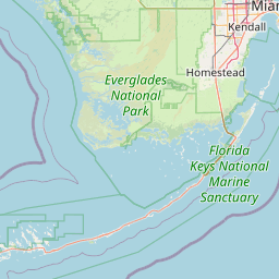
Satellite map of Naval Air Station Key West
Naval Air Station Key West (IATA: NQX, ICAO: KNQX, FAA LID: NQX), is a naval air station and military airport located on Boca Chica Key, four miles (6 km) east of the central business district of Key West, Florida, United States.
Latitude: 24° 34' 19.79" N
Longitude: -81° 41' 11.99" W

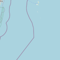


Leaflet | © OpenStreetMap contributors