Latitude and longitude of Unmanned reef lights of the Florida Keys
- Nearby Key Largo, United States
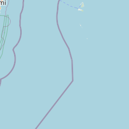
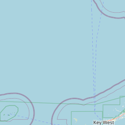
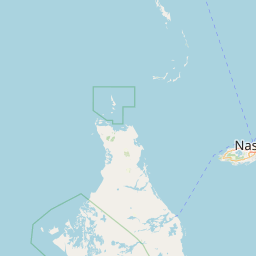
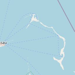
Satellite map of Unmanned reef lights of the Florida Keys
The unmanned reef lights of the Florida Keys were erected between 1921 and 1935. As they were marking local hazards, they did not need to be visible for as far as the reef lights that were erected during the 19th century. By the time these lights were erected, older lighthouses were being automated, and these new lights were designed to be automated from the start. The lights resembled the older reef lights in having a skeletal pyramidal upper structure on screw-pile foundations.
Latitude: 25° 00' 60.00" N
Longitude: -80° 22' 59.99" W
Nearest city to this article: Key Largo
Read about Unmanned reef lights of the Florida Keys in the Wikipedia Satellite map of Unmanned reef lights of the Florida Keys in Google Maps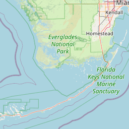


Leaflet | © OpenStreetMap contributors