Latitude and longitude of Lapeer, Michigan
- Nearby Imlay City, United States
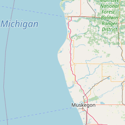
Satellite map of Lapeer, Michigan
Lapeer is a city in the U.S. state of Michigan and is the county seat of Lapeer County. As of the 2010 census, the city population was 8,841. Most of the city was incorporated from land that was formerly in Lapeer Township, though portions were also annexed from Mayfield Township and Elba Township. The city government is politically independent of all three townships. Lapeer is in southern Michigan, east of Flint, on the Flint River. The name "Lapeer" is a corruption of the French la pierre, which means "the flint".
Latitude: 43° 03' 3.00" N
Longitude: -83° 19' 4.80" W
Nearest city to this article: Lapeer, Michigan
Read about Lapeer, Michigan in the Wikipedia Satellite map of Lapeer, Michigan in Google Maps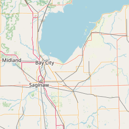


Leaflet | © OpenStreetMap contributors