Latitude and longitude of Lowndes County, Mississippi
- Nearby Columbus, Mississippi, United States
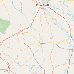
Satellite map of Lowndes County, Mississippi
Lowndes County is a county located in the U.S. state of Mississippi. As of the 2010 census, the population was 59,779. Its county seat is Columbus. The county is named for U.S.
Latitude: 33° 28' 12.00" N
Longitude: -88° 26' 24.00" W
Nearest city to this article: Columbus, Mississippi
Read about Lowndes County, Mississippi in the Wikipedia Satellite map of Lowndes County, Mississippi in Google Maps


Leaflet | © OpenStreetMap contributors