Latitude and longitude of Live Oak, Santa Cruz County, California
- Nearby Capitola, California, United States
Satellite map of Live Oak, Santa Cruz County, California
Live Oak is a census-designated place (CDP) in Santa Cruz County, California between the towns of Santa Cruz and Capitola. Live Oak sits at an elevation of 102 feet (31 m).
Latitude: 36° 58' 31.79" N
Longitude: -121° 58' 29.99" W
Nearest city to this article: Live Oak, Santa Cruz County, California
Read about Live Oak, Santa Cruz County, California in the Wikipedia Satellite map of Live Oak, Santa Cruz County, California in Google Maps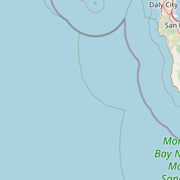
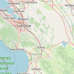


Leaflet | © OpenStreetMap contributors