Latitude and longitude of Decatur County, Georgia
- Nearby Bainbridge, Georgia, United States
Satellite map of Decatur County, Georgia
Decatur County is a county located in the U.S. state of Georgia.
Latitude: 30° 52' 48.00" N
Longitude: -84° 34' 48.00" W
Nearest city to this article: Bainbridge, Georgia
Read about Decatur County, Georgia in the Wikipedia Satellite map of Decatur County, Georgia in Google Maps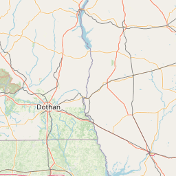


Leaflet | © OpenStreetMap contributors