Latitude and longitude of Decatur County Industrial Air Park
- Nearby Bainbridge, Georgia, United States
Satellite map of Decatur County Industrial Air Park
Decatur County Industrial Air Park (IATA: BGE, ICAO: KBGE, FAA LID: BGE) is a county-owned public-use airport located six nautical miles (11 km) northwest of the central business district of Bainbridge, a city in Decatur County, Georgia, United States.
Latitude: 30° 58' 10.79" N
Longitude: -84° 38' 8.99" W
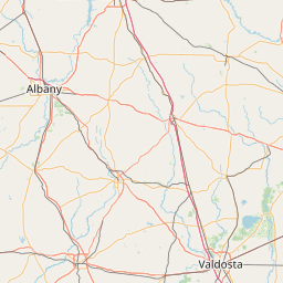
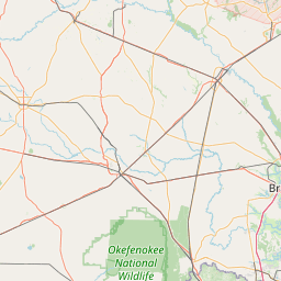
Nearest city to this article: Bainbridge, Georgia
Read about Decatur County Industrial Air Park in the Wikipedia Satellite map of Decatur County Industrial Air Park in Google Maps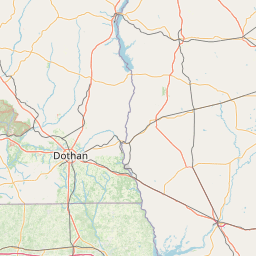


Leaflet | © OpenStreetMap contributors