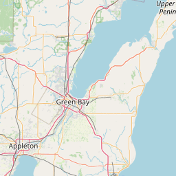
Latitude and longitude of Sherwood, Wisconsin
- Nearby Appleton, Wisconsin, United States
Satellite map of Sherwood, Wisconsin
Sherwood is a village in Calumet County, Wisconsin, United States. The population was 2,713 at the 2010 census.
Latitude: 44° 10' 15.00" N
Longitude: -88° 16' 18.60" W
Nearest city to this article: Sherwood, Wisconsin
Read about Sherwood, Wisconsin in the Wikipedia Satellite map of Sherwood, Wisconsin in Google Maps


Leaflet | © OpenStreetMap contributors