Latitude and longitude of Brunswick Station, Maine
- Nearby North Bath, United States
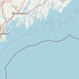
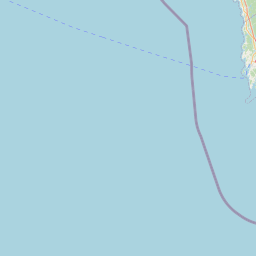
Satellite map of Brunswick Station, Maine
Brunswick Station is a census-designated place (CDP) within the town of Brunswick in Cumberland County, Maine, United States. The population was 578 at the 2010 census. It consists of area that was part of the former Naval Air Station Brunswick.
Latitude: 43° 53' 25.79" N
Longitude: -69° 55' 28.79" W
Nearest city to this article: Brunswick, Maine
Read about Brunswick Station, Maine in the Wikipedia Satellite map of Brunswick Station, Maine in Google Maps


Leaflet | © OpenStreetMap contributors