Latitude and longitude of Morse High School (Maine)
- Nearby North Bath, United States
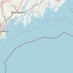
Satellite map of Morse High School (Maine)
Morse High School in Bath, Maine, brings in students from the communities of Bath, West Bath, Phippsburg, Woolwich, Georgetown, and Arrowsic, Maine. The original school building, a gift to the city from Charles W. Morse, burned down March 24, 1928 and was later rebuilt in 1929. A large addition was made in 1969, and an expanded vocational center was added in 1996. As of December 2011, Morse's population is 640 students; 96% Caucasian, 2% African American, 1% Hispanic/Latino, .8% Asian, .5% American Indian/Alaska Native.
Latitude: 43° 54' 50.76" N
Longitude: -69° 49' 12.00" W
Nearest city to this article: Bath, Maine
Read about Morse High School (Maine) in the Wikipedia Satellite map of Morse High School (Maine) in Google Maps

Leaflet | © OpenStreetMap contributors