Latitude and longitude of Sanderson, Florida
- Nearby Lake City, Florida, United States
Satellite map of Sanderson, Florida
Sanderson is an unincorporated community in Baker County, Florida, United States. The main road through Sanderson is U.S. Route 90, which is intersected by County Roads 229 and 127. Sanderson is also the headquarters of the Baker County Road Department.
Latitude: 30° 15' 6.98" N
Longitude: -82° 16' 23.02" W
Nearest city to this article: Macclenny
Read about Sanderson, Florida in the Wikipedia Satellite map of Sanderson, Florida in Google Maps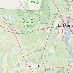


Leaflet | © OpenStreetMap contributors