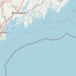
Latitude and longitude of Naval Air Station Brunswick
- Nearby Bath, Maine, United States
Satellite map of Naval Air Station Brunswick
Naval Air Station Brunswick (IATA: NHZ, ICAO: KNHZ, FAA LID: NHZ), also known as NAS Brunswick, was a military airport located 2 miles (3.2 km) northeast of Brunswick, Maine. The base was home to a number of Navy-operated maritime patrol aircraft.
Latitude: 43° 53' 19.19" N
Longitude: -69° 56' 11.39" W
Nearest city to this article: Brunswick, Maine
Read about Naval Air Station Brunswick in the Wikipedia Satellite map of Naval Air Station Brunswick in Google Maps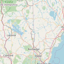

Leaflet | © OpenStreetMap contributors