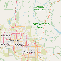
Latitude and longitude of Hall of Flame Fire Museum
- Nearby Chandler, Arizona, United States
Satellite map of Hall of Flame Fire Museum
The National Historical Fire Foundation (Hall of Flame) is a museum dedicated to the historical preservation of fire fighting equipment used through the years around the world.
Latitude: 33° 26' 50.59" N
Longitude: -111° 57' 12.10" W
Nearest city to this article: Tempe Junction
Read about Hall of Flame Fire Museum in the Wikipedia Satellite map of Hall of Flame Fire Museum in Google Maps


Leaflet | © OpenStreetMap contributors