Latitude and longitude of James Randi Educational Foundation
- Nearby Pembroke Pines, United States
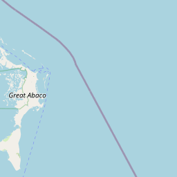
Satellite map of James Randi Educational Foundation
The James Randi Educational Foundation (JREF) is an American non-profit organization founded in 1996 by magician and skeptic James Randi.
Latitude: 26° 06' 28.38" N
Longitude: -80° 08' 27.09" W
Nearest city to this article: Fort Lauderdale
Read about James Randi Educational Foundation in the Wikipedia Satellite map of James Randi Educational Foundation in Google Maps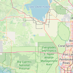


Leaflet | © OpenStreetMap contributors