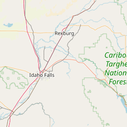
Latitude and longitude of Idaho Falls Regional Airport
- Nearby Idaho Falls, United States
Satellite map of Idaho Falls Regional Airport
Idaho Falls Regional Airport (IATA: IDA, ICAO: KIDA, FAA LID: IDA) is a city owned, public use airport located two nautical miles (4 km) northwest of the central business district of Idaho Falls, a city in Bonneville County, Idaho, United States.
Latitude: 43° 30' 29.63" N
Longitude: -112° 04' 8.82" W
Nearest city to this article: Idaho Falls
Read about Idaho Falls Regional Airport in the Wikipedia Satellite map of Idaho Falls Regional Airport in Google Maps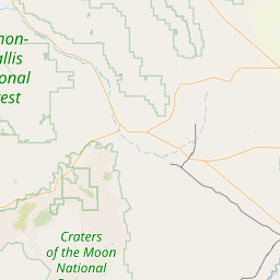

Leaflet | © OpenStreetMap contributors