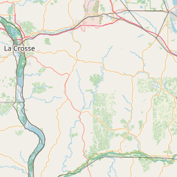
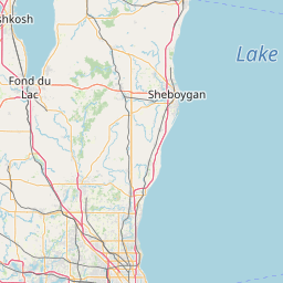
Latitude and longitude of Mississippi River Bridge (La Crosse, Wisconsin)
- Nearby Onalaska, Wisconsin, United States
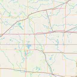
Satellite map of Mississippi River Bridge (La Crosse, Wisconsin)
The Mississippi River Bridge is a combination of two individual bridges which are also known as the Cass Street bridge and the Cameron Avenue bridge, as well as the Big Blue Bridges. They connect downtown La Crosse, Wisconsin to Barron Island, crossing the east channel of the Mississippi River. Another bridge, the La Crosse West Channel Bridge connects Barron Island to La Crescent, Minnesota. The Mississippi River Bridge carries U.S.
Latitude: 43° 48' 19.79" N
Longitude: -91° 15' 20.40" W
Nearest city to this article: La Crosse
Read about Mississippi River Bridge (La Crosse, Wisconsin) in the Wikipedia Satellite map of Mississippi River Bridge (La Crosse, Wisconsin) in Google Maps

Leaflet | © OpenStreetMap contributors