Latitude and longitude of Siletz Reservation
- Nearby Newport, Oregon, United States
Satellite map of Siletz Reservation
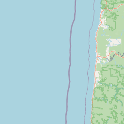
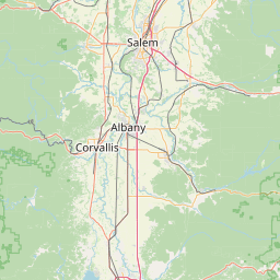
The Siletz Reservation is a 5.852 sq mi (15.157 km²) Indian reservation in Lincoln County, Oregon, United States, owned by the Confederated Tribes of Siletz. The reservation lies on numerous non-contiguous parcels of land in east-central Lincoln County, mostly east of the city of Siletz, between it and the Polk County line.
Latitude: 44° 43' 11.39" N
Longitude: -123° 54' 35.39" W


Leaflet | © OpenStreetMap contributors