Latitude and longitude of Panama City–Bay County International Airport
- Nearby Panama City, Florida, United States
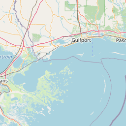
Satellite map of Panama City–Bay County International Airport
Panama City–Bay County International Airport (IATA: PFN, ICAO: KPFN, FAA LID: PFN) was a public airport three miles northwest of Panama City, in Bay County, Florida. It was owned and operated by the Panama City–Bay County Airport and Industrial District.
Latitude: 30° 12' 26.40" N
Longitude: -85° 40' 34.79" W
Nearest city to this article: Pretty Bayou
Read about Panama City–Bay County International Airport in the Wikipedia Satellite map of Panama City–Bay County International Airport in Google Maps


Leaflet | © OpenStreetMap contributors