Latitude and longitude of Saint John's Preparatory School (Minnesota)
- Nearby Sauk Centre, Minnesota, United States
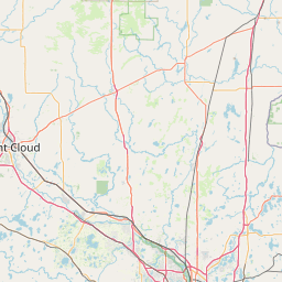
Satellite map of Saint John's Preparatory School (Minnesota)
Founded in 1857, Saint John’s Preparatory School (SJP) is a Catholic/Benedictine, co-educational, day and boarding college preparatory school located in Collegeville, Minnesota. The school includes a Middle School consisting of grades 6-8 and an Upper School consisting of grades 9-12. The student body consists of students from the local area along with 5- and 7-day boarding students from across the United States and around the world.
Latitude: 45° 34' 29.39" N
Longitude: -94° 23' 10.19" W
Nearest city to this article: Saint Joseph, Minnesota
Read about Saint John's Preparatory School (Minnesota) in the Wikipedia Satellite map of Saint John's Preparatory School (Minnesota) in Google Maps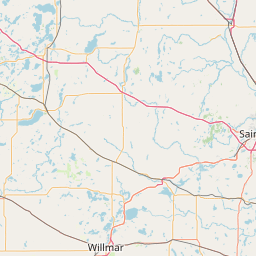

Leaflet | © OpenStreetMap contributors