Latitude and longitude of Union County, Mississippi
- Nearby New Albany, Mississippi, United States
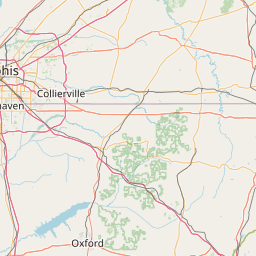
Satellite map of Union County, Mississippi
Union County is a county located in the U.S. state of Mississippi. As of the 2010 census, the population was 27,134. Its county seat is New Albany. According to most sources, the county received its name by being a union of pieces of several large counties, like other Union counties in other states. However, other sources say that the name was meant to mark the re-union of Mississippi and the other Confederate states after the Civil War (at the time, the state had a Republican government under Reconstruction) or that the name came from the Union District of South Carolina, where many of the area's first settlers came from.
Latitude: 34° 29' 24.00" N
Longitude: -89° 00' 0.00" W
Nearest city to this article: New Albany, Mississippi
Read about Union County, Mississippi in the Wikipedia Satellite map of Union County, Mississippi in Google Maps