Latitude and longitude of West Branch Township, Missaukee County, Michigan
- Nearby Houghton Lake, Michigan, United States
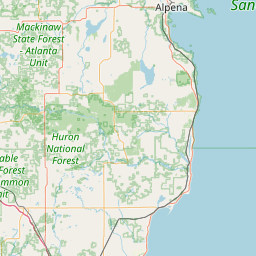
Satellite map of West Branch Township, Missaukee County, Michigan
West Branch Township is a civil township of Missaukee County in the U.S. state of Michigan.
Latitude: 44° 22' 9.59" N
Longitude: -84° 59' 3.59" W
Nearest city to this article: Houghton Lake, Michigan
Read about West Branch Township, Missaukee County, Michigan in the Wikipedia Satellite map of West Branch Township, Missaukee County, Michigan in Google Maps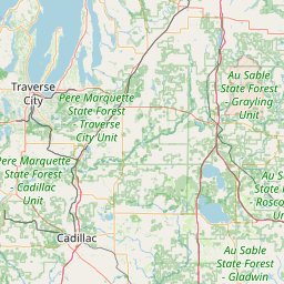

Leaflet | © OpenStreetMap contributors