Latitude and longitude of Shreveport Area Transit System
- Nearby Red Chute, United States
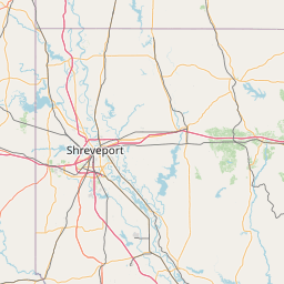
Satellite map of Shreveport Area Transit System
The Shreveport Area Transit System, commonly known as SporTran, is a public transportation bus system based in Shreveport, Louisiana, USA. It runs bus routes in Shreveport and Bossier City, Louisiana.
Latitude: 32° 30' 25.19" N
Longitude: -93° 44' 31.19" W
Nearest city to this article: Bossier City
Read about Shreveport Area Transit System in the Wikipedia Satellite map of Shreveport Area Transit System in Google Maps
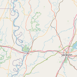

Leaflet | © OpenStreetMap contributors