Latitude and longitude of New Ulm Municipal Airport
- Nearby New Ulm, Minnesota, United States
Satellite map of New Ulm Municipal Airport
New Ulm Municipal Airport (IATA: ULM, ICAO: KULM, FAA LID: ULM) is a public airport located two statute miles (3 km) west of the central business district (CBD) of New Ulm, a city in Brown County, Minnesota, USA. This general aviation airport covers 195 acres (79 ha) and has two runways.
Latitude: 44° 19' 6.00" N
Longitude: -94° 30' 4.79" W
Nearest city to this article: New Ulm, Minnesota
Read about New Ulm Municipal Airport in the Wikipedia Satellite map of New Ulm Municipal Airport in Google Maps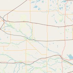


Leaflet | © OpenStreetMap contributors