Latitude and longitude of Lake Havasu
- Nearby Lake Havasu City, United States
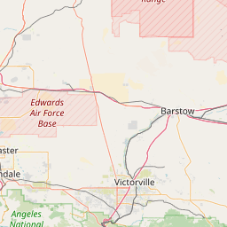
Satellite map of Lake Havasu
Lake Havasu is a large reservoir behind Parker Dam on the Colorado River, on the border between California and Arizona. Lake Havasu City sits on the lake's eastern shore. The lake has a capacity of 648,000 acre feet (799,000,000 m3). The concrete arch dam was built by the United States Bureau of Reclamation between 1934 and 1938. The lake's primary purpose is to store water for pumping into two aqueducts. Prior to the dam construction, the area was home to the Mohave Indians. In the early 1800s it was frequented by beaver trappers.
Latitude: 34° 28' 59.99" N
Longitude: -114° 22' 59.99" W
Nearest city to this article: Lake Havasu City
Read about Lake Havasu in the Wikipedia Satellite map of Lake Havasu in Google Maps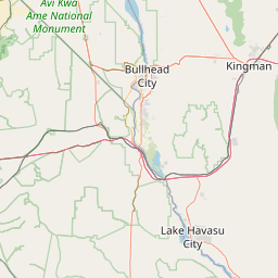

Leaflet | © OpenStreetMap contributors