Latitude and longitude of Pompion Hill Chapel
- Nearby Ladson, United States
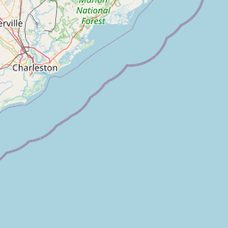
Satellite map of Pompion Hill Chapel
Pompion (pronounced "pumkin") Hill Chapel is small "back parish" church near Huger, South Carolina that was built in 1763.
Latitude: 33° 05' 11.61" N
Longitude: -79° 50' 25.29" W


Leaflet | © OpenStreetMap contributors