Latitude and longitude of Ben Sawyer Bridge
- Nearby Ladson, United States
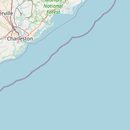
Satellite map of Ben Sawyer Bridge
The Ben Sawyer Bridge is a swing bridge that connects the town of Mount Pleasant with Sullivan's Island in South Carolina. The bridge swings on its central axis to open for boat traffic which is too tall to clear the bridge, and has an operator's house in the center of the swing span from which an tender can operate the bridge.
Latitude: 32° 46' 13.79" N
Longitude: -79° 50' 19.19" W


Leaflet | © OpenStreetMap contributors