Latitude and longitude of Round O, South Carolina
- Nearby Ladson, United States
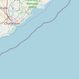
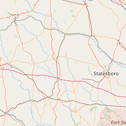
Satellite map of Round O, South Carolina
Round O (formerly also called Round) is an unincorporated community in Colleton County, South Carolina, United States. Its elevation is 36 feet (11 m), its ZIP code is 29474, and it is located near the intersection of Cottageville Highway (US 17) and Round O Road (S-15-45). Its geographic coordinates are [(32°56.2′N80°32.5′W) (32.9371, −80.5409).]. There are numerous churches within the community, including Canaan Baptist Church and Mount Sinai Baptist.
Latitude: 32° 56' 8.39" N
Longitude: -80° 32' 16.19" W
Nearest city to this article: Walterboro
Read about Round O, South Carolina in the Wikipedia Satellite map of Round O, South Carolina in Google Maps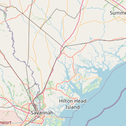


Leaflet | © OpenStreetMap contributors