Latitude and longitude of Battle of Monck's Corner
Satellite map of Battle of Monck's Corner
The Battle of Monck's Corner was fought on April 14, 1780, outside the city of Charleston, South Carolina, which was under siege by British forces under the command of General Sir Henry Clinton in the American Revolutionary War. The British Legion, under the command of Lieutenant Colonel Banastre Tarleton, surprised an American force stationed at Monck's Corner, and drove them away.
Latitude: 33° 11' 28.80" N
Longitude: -80° 00' 14.40" W
Nearest city to this article: Moncks Corner
Read about Battle of Monck's Corner in the Wikipedia Satellite map of Battle of Monck's Corner in Google Maps
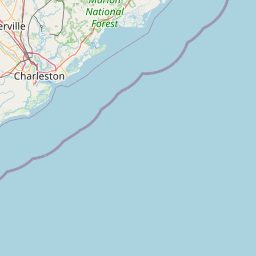


Leaflet | © OpenStreetMap contributors